Red Bosque-Clima Argentina
A federal network integrating researchers, monitoring sites and complementary methodologies to understand how Argentine native forests respond to environmental variability, disturbances and climate change.
We are a team of professionals and researchers from across Argentina studying the dynamics of native forests and their response to climate variability. The network integrates multiple aspects of wood formation: cambial activity through xylogenesis, high-resolution growth monitoring with dendrometers, interannual variations through tree rings, and growth in permanent plots.
Monitoring Initiatives
The network brings together several pre-existing monitoring initiatives in Argentina, including: the Argentine Permanent Plots Network (RAPP), which assembles sampling sites where tree identity, abundance and size are periodically recorded, enabling the study of how forests change in relation to climate, natural and anthropogenic disturbances, forest uses and management practices, on inter-annual to decadal scales. The Argentine High-Resolution Dendrometer Network (RADAR) coordinates dendrometric stations for high-resolution radial growth monitoring distributed across the country's different forest regions, complemented at some stations by xylogenesis studies aimed at understanding wood formation processes in greater detail.
Furthermore, Red Bosque-Clima interacts with other wood-growth monitoring initiatives in Argentina, including dendrochronological studies using increment borers, isotopic analyses and quantitative wood anatomy. Together, these actions seek to strengthen knowledge of Argentine native forests and generate scientific information useful for their conservation, management and adaptation to climate change.
Main Objectives
Establish and coordinate the network
Create a national network to monitor the growth of Argentine native forests, integrating several existing initiatives.
Examine the impacts of climate change
Analyze how global climate change affects the dynamics of native forest ecosystems.
Project changes in forest dynamics
Develop projections to support decision-making for conservation and sustainable management.
Location map of dendrometric stations
The stations are distributed throughout the country to represent the different forest regions of Argentina, monitoring the most representative species of each ecosystem.
Methodology
View field manual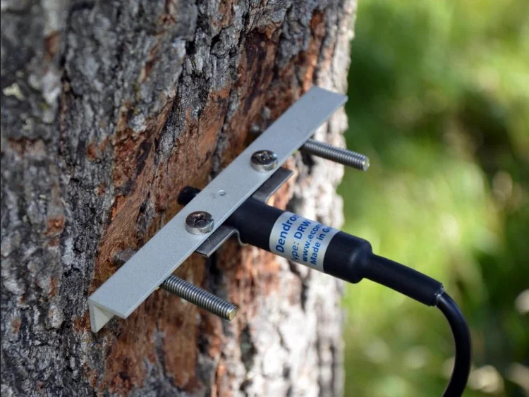
High-resolution dendrometers
We use point dendrometer sensors that measure micrometric variations in trunk radius every 15 minutes, recording daily hydration-dehydration cycles and estimating tree growth in response to environmental conditions.
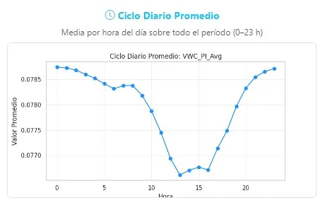
Data portal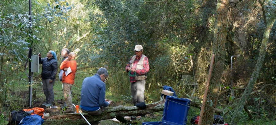
Hydro-climatic variables at monitoring stations
We measure soil temperature and humidity at 30 cm depth with 15-minute resolution. Some stations, far from conventional meteorological networks, also include air temperature and humidity sensors.
Cambial phenology
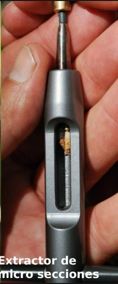
Extraction of wood microsamples
Using Trephor microcorer® borers, we extract small wood samples (~15 mm long × 1.5 mm in diameter) at fortnightly intervals.
Laboratory analysis
Samples from Trephor microcorer® borers are processed at the LEEMA IFAB laboratory (INTA–CONICET) in Bariloche to obtain thin sections and record the different stages of wood tissue formation under microscope (cambial phenology).
Permanent plots
Permanent forest plots are sampling areas where tree species are identified and abundance and size are periodically recorded (every 5 years) to track changes in relation to climate, natural disturbances, land use and management.
View plot repositoryDendrochronological analysis
Dendrochronological techniques are used to date growth rings of woody tree and shrub species. Work is carried out on transverse sections or increment borer samples subjected to rigorous sanding. This produces elementary chronologies cross-dated through visual and statistical synchronization (crossdating).
Participating Institutions
This federal network is composed of diverse scientific and academic institutions from across the country.


























Acknowledgements
Landowners and collaborators: Landowners and collaborators: Estancia Río Toro, Amigos del Parque Nacional Los Glaciares, Resurgir del Algarrobal, Reserva Natural Aldea Luna, Estancia Los Huemules, El Guayabo, Bahía Carayá, Establecimiento San Rafael, Reserva Privada Arroyo Lapachal, Finca El Paraíso, Puesto El Central, Establecimiento El Bagual, Establecimiento Las Niñas, Parque Provincial Ischigualasto, Museo de Ciencias Naturales and Universidad de San Juan.
Funding
Red Bosque-Clima is sustained by core funding from the Federal High-Impact Projects Programme, launched by the former Ministry of Science, Technology and Innovation in 2023 and currently by the High-Impact Science and Technology Networks Support Programme under the Undersecretary of Science and Technology, Secretariat of Innovation, Science and Technology.
The Network has also received support from national and international institutions and projects, including the Fundación Williams Strengthening Programme (Argentina), the Reconsphere project of the Swiss National Science Foundation (Switzerland), and the LEFE-VODSAM project of CNRS (France). ImpaCT.AR Science and Technology, Ministry of Environment and Sustainable Development.
Network Organisation
Red Bosque-Clima is organised around a central coordination team and four regional nodes that coordinate monitoring and research activities across the country.
Coordination
Ricardo Villalba, Ana Srur
IANIGLA-CONICET, Mendoza
Nodo NOA
Node coordinator:
Cecilia Blundo
Nodo NEA
Node coordinator:
Marcelo Wilson
Nodo Centro
Node coordinator:
Ricardo Villalba
Nodo Patagonia
Node coordinator:
Alejandro Martínez-Meier
Data Portal
Bosque Andino Patagónico
9
(Nodo Patagonia-N) Diego de León - Río Negro

(Nodo Patagonia-N) Estación Alerzal - Río Negro

(Nodo Patagonia-N) Estación Almohadilla - Río Negro
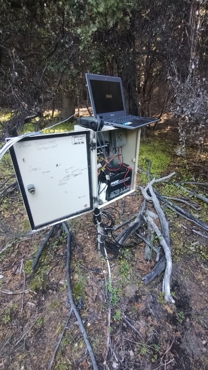
(Nodo Patagonia-N) Estación Río Minero (RM) - Neuquén

(Nodo Patagonia-N) Estación Río Minero (RM) - Neuquén NUEVO
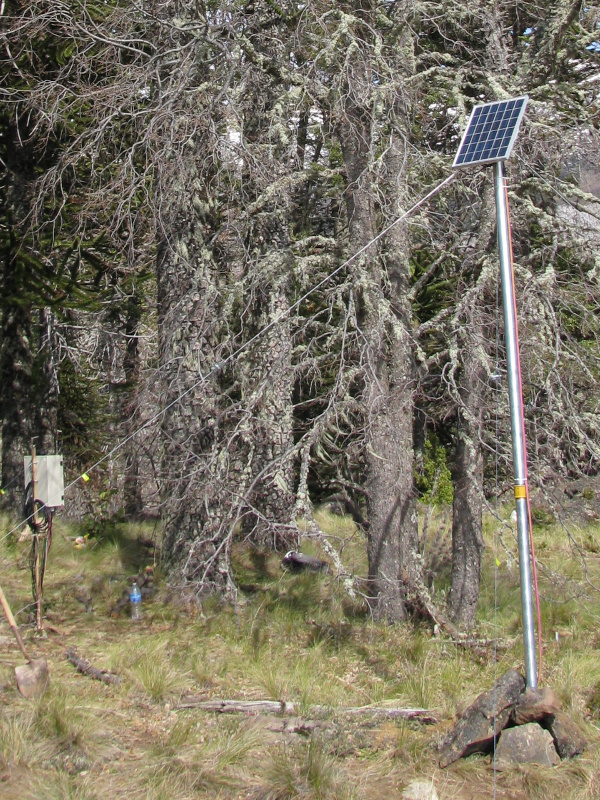
(Nodo Patagonia-N) Estación Ñorquinco (NO) - Neuquén
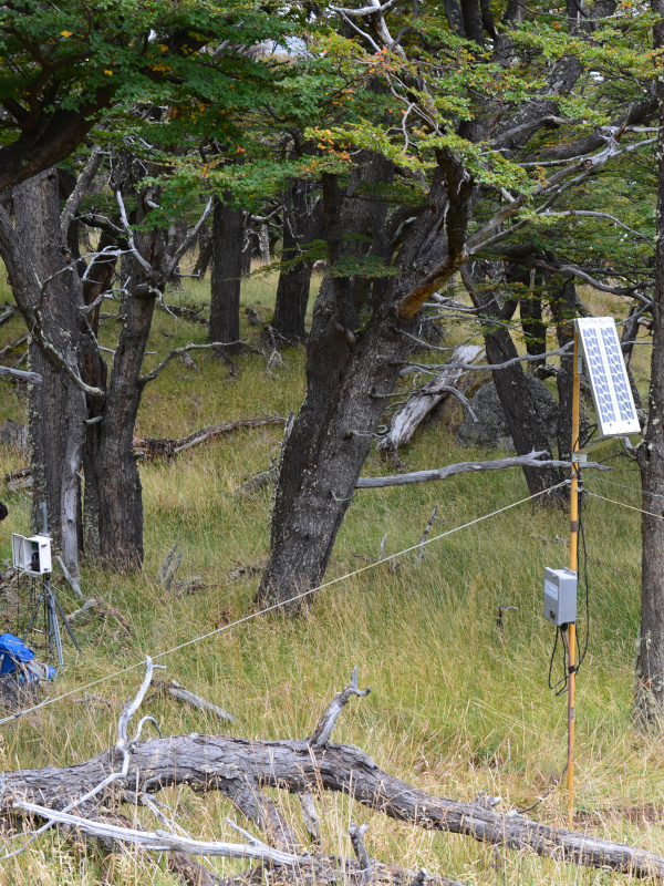
(Nodo Patagonia-S) Estación Los Huemules (LH) (relocalizada) - Santa Cruz
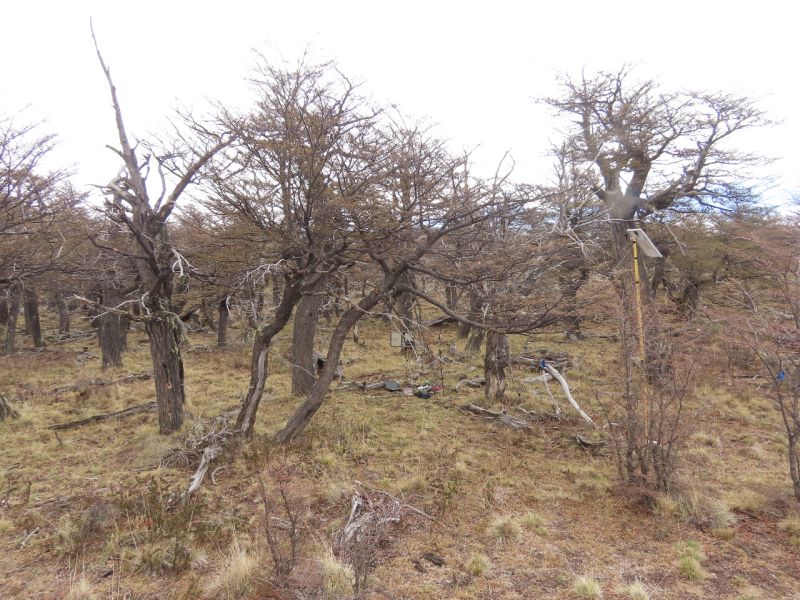
(Nodo Patagonia-S) Estación Pliegue Tumbado (PT) - Santa Cruz

(Nodo Patagonia-S) Río Toro - Santa Cruz
Delta e islas del Río Paraná
1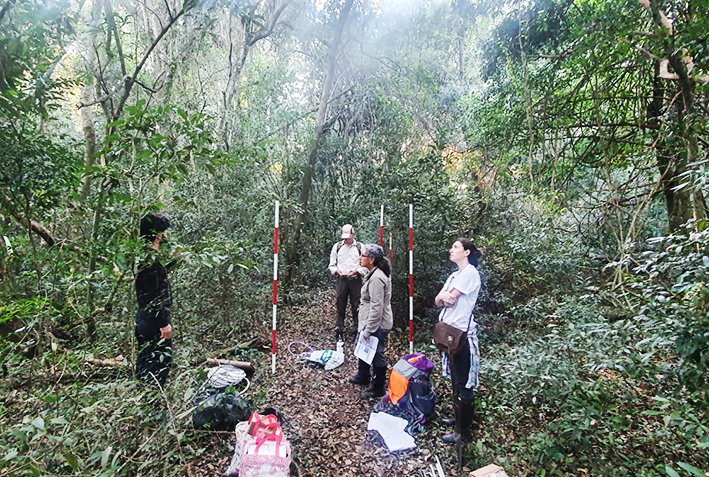
(Nodo NEA) Estación Yaciretá - Ituzaingó (ITU) - Corrientes
Espinal
4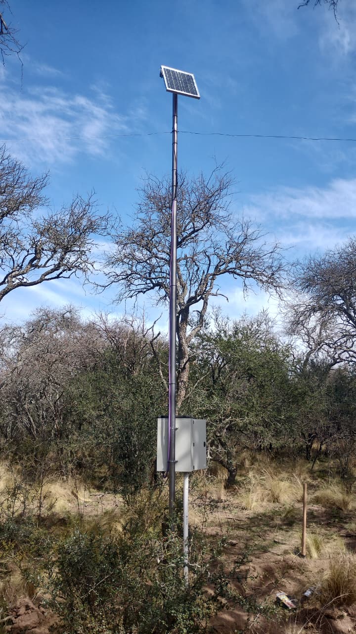
(Nodo Centro) Estación Bajo Verde (SRO)- La Pampa
La Pampa
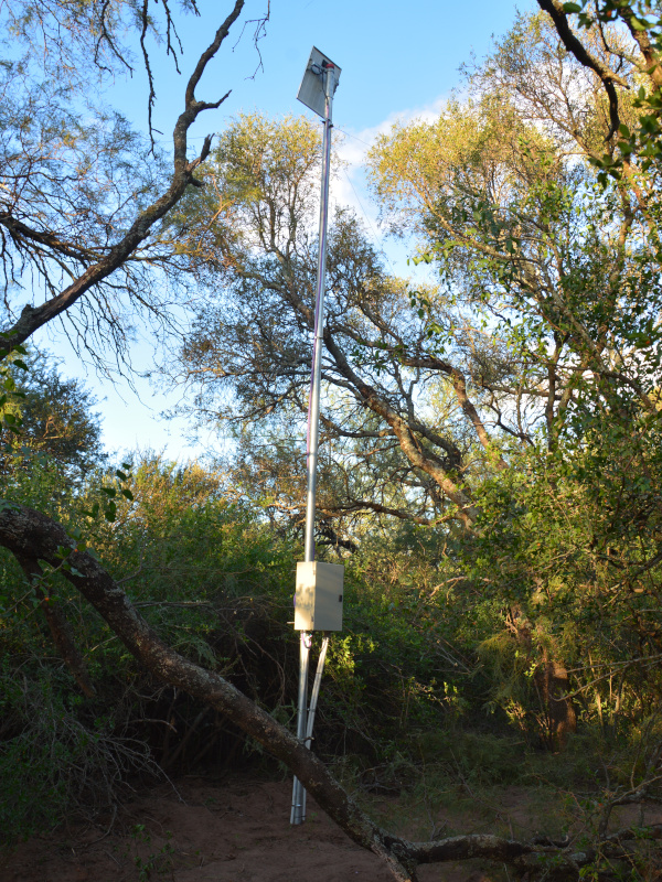
(Nodo Centro) Estación Curalicó (CU) - San Luis
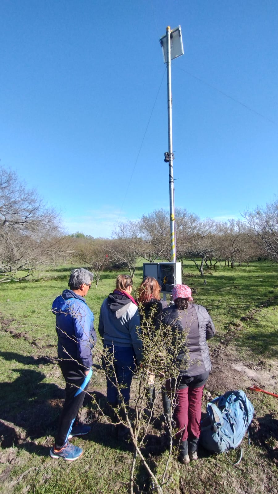
(Nodo NEA) El Guayabo 2 (EG2) - Entre Ríos
Entre Ríos
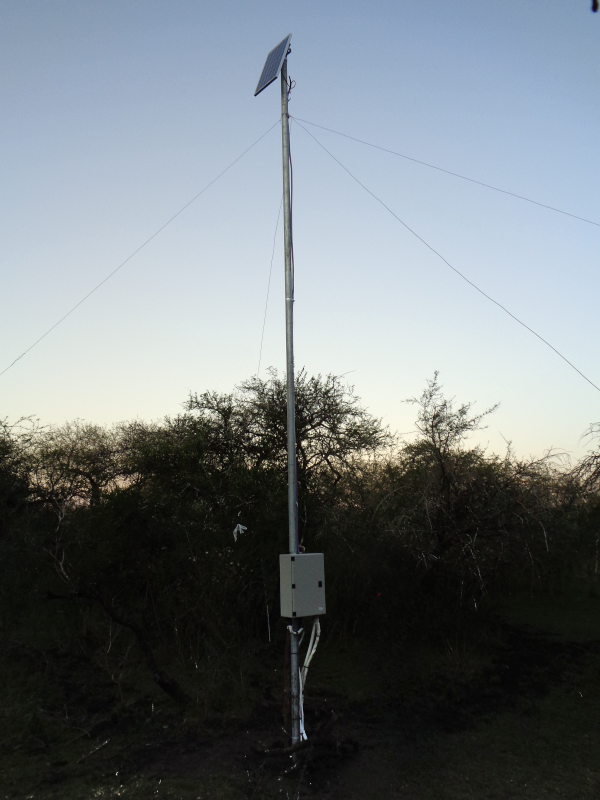
(Nodo NEA) Estación El Guayabo (EG) - Entre Ríos
Monte
5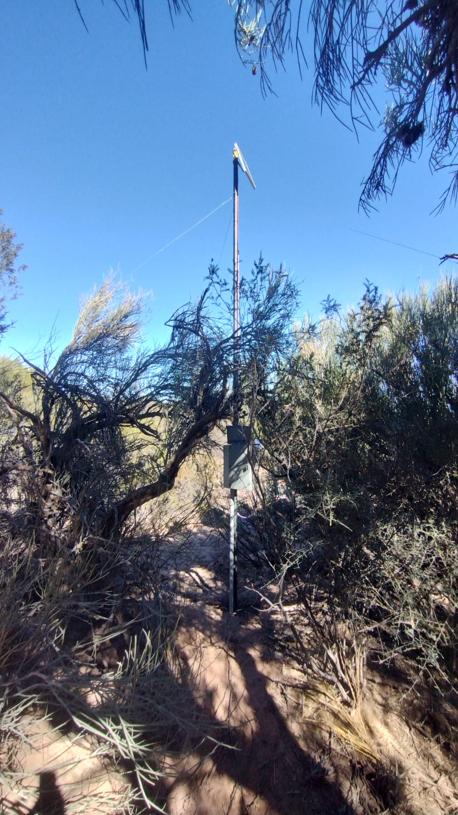
(Nodo Centro) Estación Ischigualasto (IS) - San Juan
San Juan
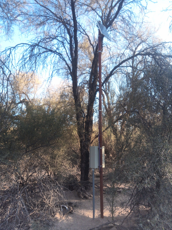
(Nodo Centro) Estación Pipanaco (PI) - Catamarca
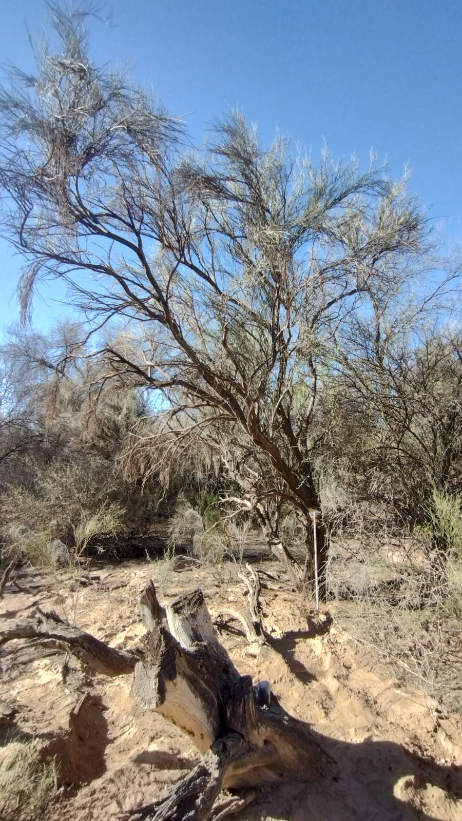
(Nodo Centro) Estación Pipanaco 2 (PI2)- Catamarca
Catamarca

(Nodo Centro) Estación Ñacuñán (NA) - Mendoza
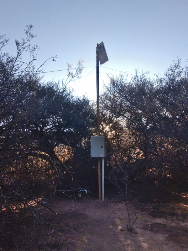
(Nodo NOA) Estación Los Cardones (LC) - Salta
Parque Chaqueño
8
(Nodo Centro) Estación Ascochinga (AS) - Córdoba
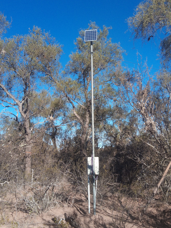
(Nodo Centro) Estación Chamical (CH) - La Rioja
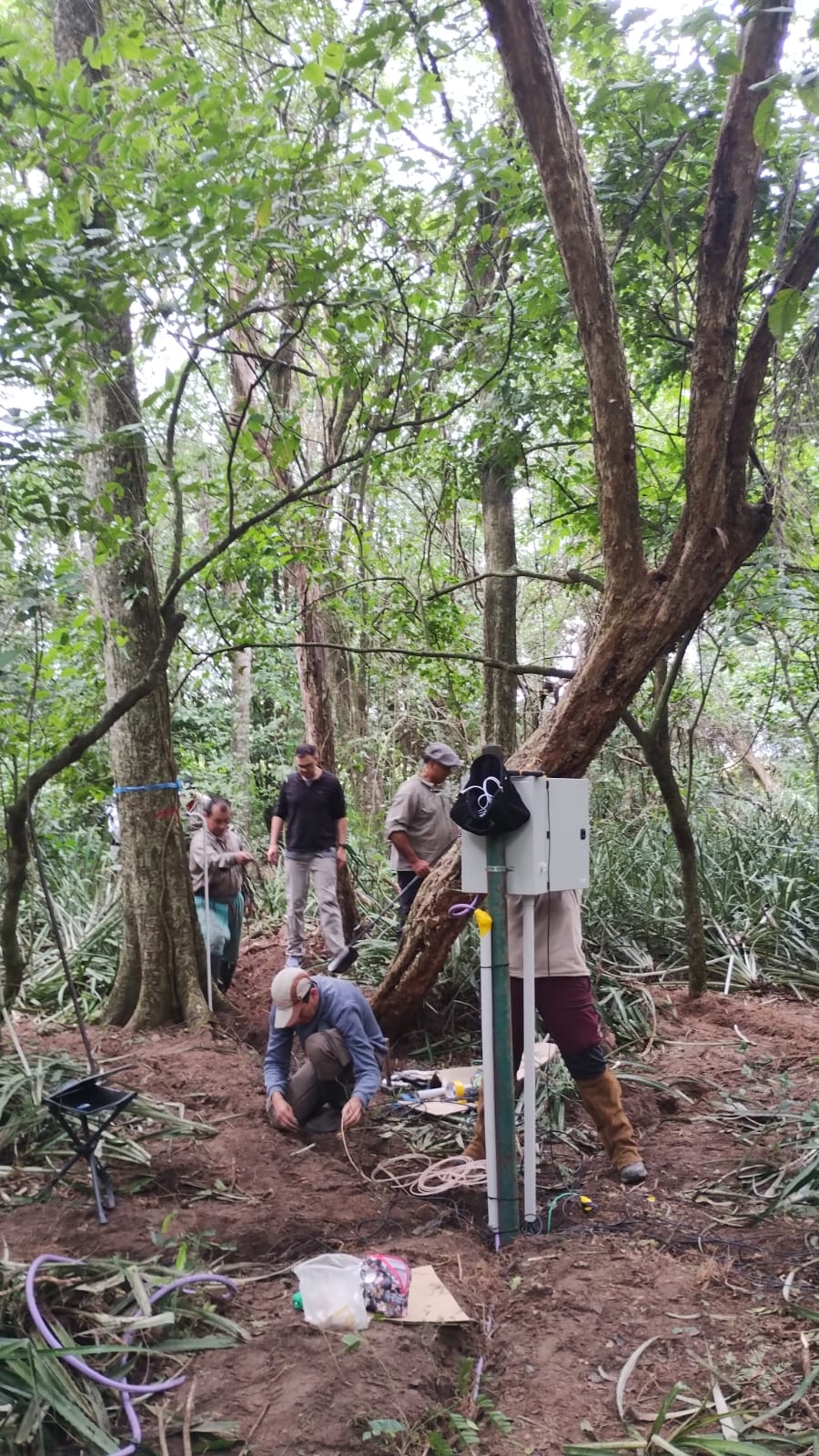
(Nodo NEA) Estación El Bagual (EB) - Formosa
Formosa
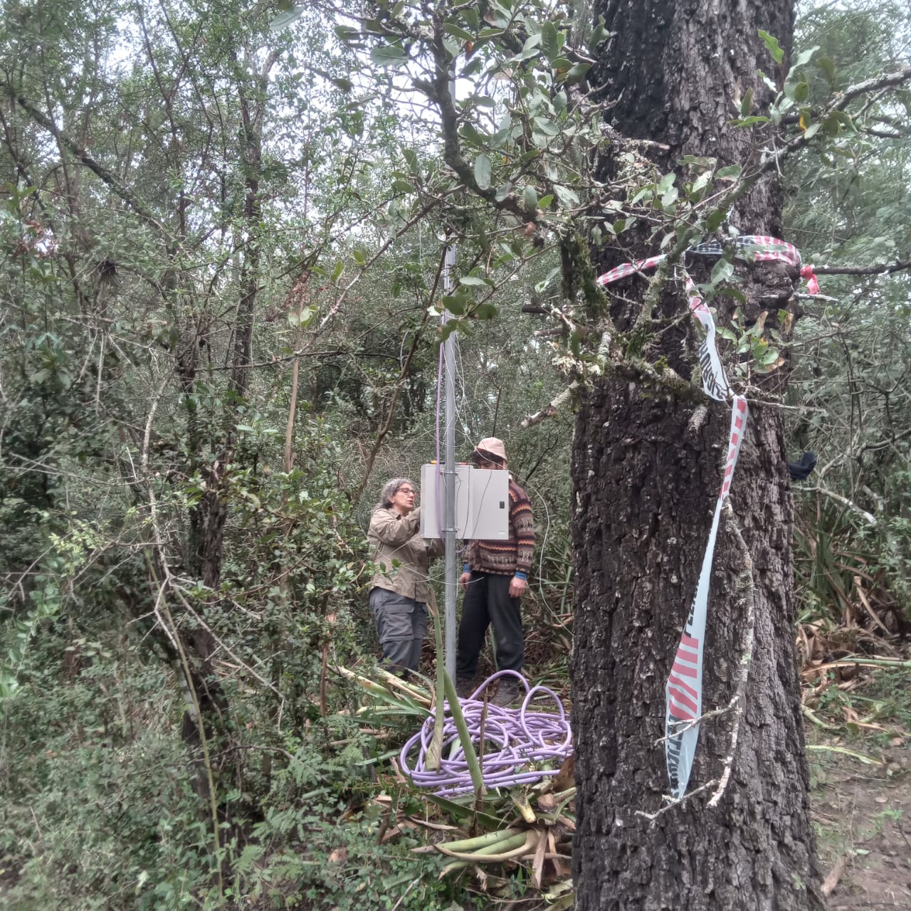
(Nodo NEA) Estación San Rafael (SR) - Chaco
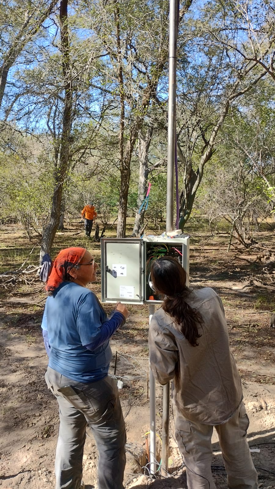
(Nodo NOA) Estación El Central (EC) - Salta
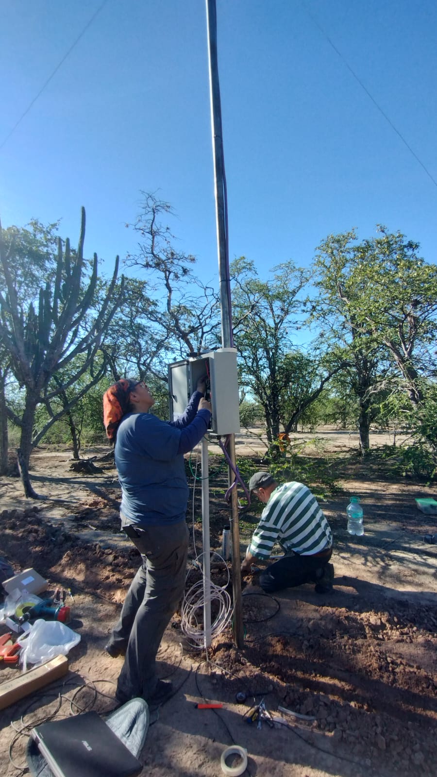

(Nodo NOA) Estación Los Arias (AR) - Santiago del Estero
Santiago del Estero

(Nodo NOA) Estación Monte Quemado (MQ) - Santiago del Estero
Selva Paranaense
2
(Nodo NEA) Estación Parque Nacional Iguazu (PNI) - Misiones

(Nodo NEA) Estación Reserva Guaraní (RG) - Misiones
Talares
1
(Nodo Centro) Estación El Destino (ED) - Buenos Aires
Yungas
3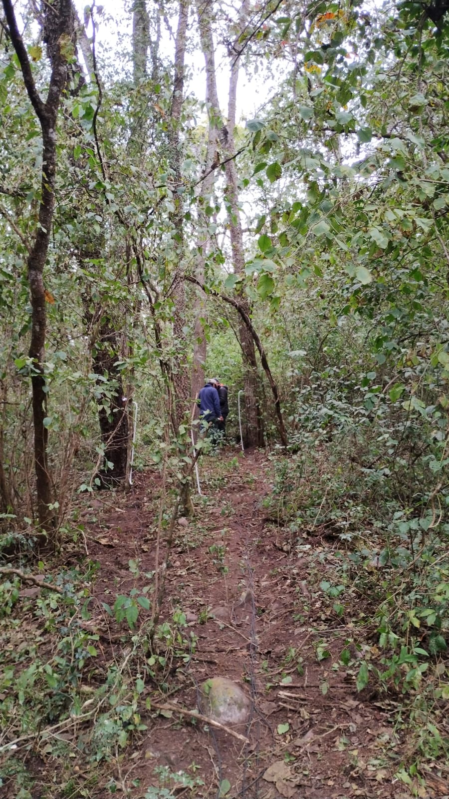
(Nodo NOA) Estación Arroyo Lapachal (LAP) - Jujuy

(Nodo NOA) Estación San Javier (SJ) - Tucumán
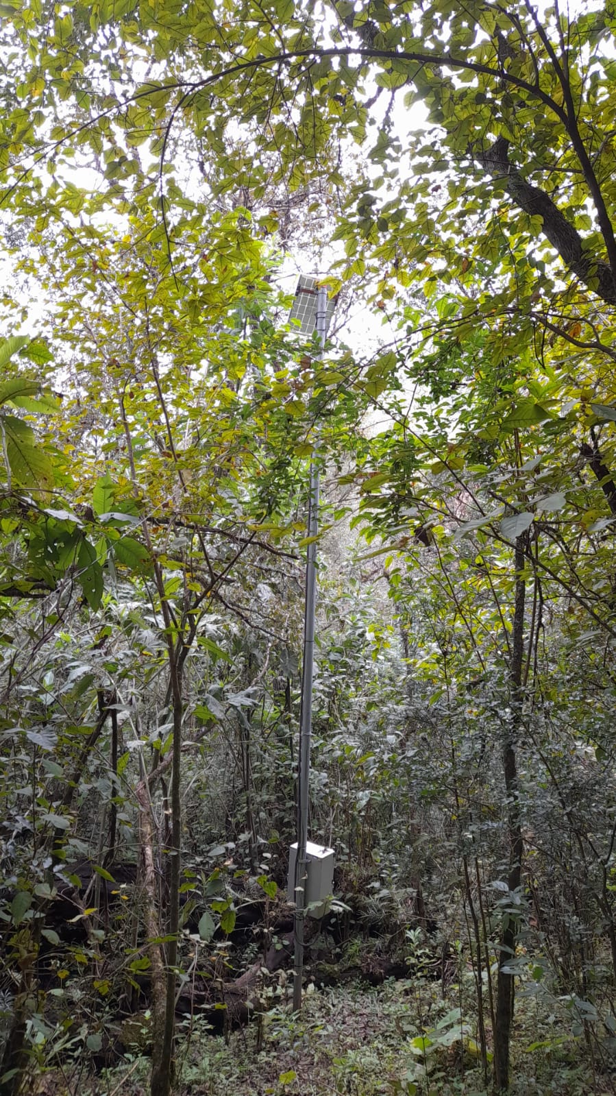
(Nodo NOA) Estación Tilquiza (TI) - Jujuy
Network Resources
Red Bosque-Clima records as contributions the academic, scientific, technical and outreach products developed with data, infrastructure, collaboration or activities linked to the project. These contributions include scientific publications, conference presentations, posters, talks, reports and other associated materials.
Contact
Do you have questions or want to collaborate with the network?
Av. Ruiz Leal s/n Parque Gral San Martín, Mendoza, Argentina
+54 261 524 4200